 vesseltracker.com
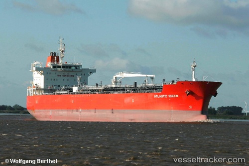
Vessel 219027923 IMO: 9440033, MMSI: 219027923
UTC, 16.17500, 65.61833, course: -1, speed: 11
UTC, 16.46333, 65.73167, course: -1, speed: 14
2026-01-30 03:49:52 UTC, 16.87279, 65.91478, course: 27, speed: 12
Live AIS position:
UTC. 349 nm SW of Veraval),
updated 2026-01-30 03:49:52 UTC.
Find the position of the vessel 219027923 on the map. The latter are known coordinates and path.
marine traffic ship tracker show on live map
The current position of vessel 219027923 is 16.87279 lat / 65.91478 lng. Updated: 2026-01-30 03:49:52 UTCDetails:
Last coordinates of the vessel:
UTC, 15.87833, 65.40833, course: -1, speed: 11UTC, 16.17500, 65.61833, course: -1, speed: 11
UTC, 16.46333, 65.73167, course: -1, speed: 14
2026-01-30 03:49:52 UTC, 16.87279, 65.91478, course: 27, speed: 12